EXP-09 · REPUBLIC OF KAZAKHSTAN
Sayahat
Explore Kazakhstan
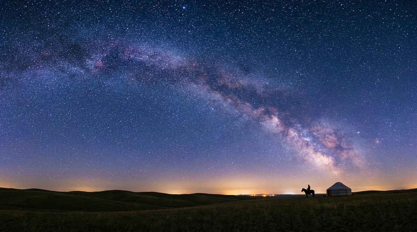
A navigation console for nine real places across the steppe — canyons carved by wind and water, alpine lakes, a singing dune, and monuments a thousand years old. Chart a route on the map, or scroll to begin.
ORIGIN43.16°N 77.05°E
TERRITORY2,724,900 km²
WAYPOINTS09 LOGGED
Descend
CARTOGRAPHY
Chart your route
Nine waypoints, positioned by true latitude and longitude. Select a marker to open its field report.
◆ WaypointHover for coordinatesClick to open field report
ASSESSMENT
Test your route
Four questions on what you've surveyed. Answer to calibrate your explorer rank.
QUESTION 1/4
SCORE 0
DEBRIEF COMPLETE
0/4
EXPLORER
END OF TRANSMISSION
Journey logged
Nine waypoints surveyed across 2.7 million square kilometres of steppe, canyon, and alpine ridge — from the chalk fins of Bozzhyra to the granite shores of Burabay. The steppe keeps its own time; return whenever you like.
SESSION CLOSED · 00:00:00 ELAPSED · ALL WAYPOINTS AVAILABLE
SAYAHAT — an interactive exploration of Kazakhstan
Motion design & cartography: EXP-09 navigation console
Coordinates and facts referenced to public geographic record